
The Best Hiking Trails in Arizona
Explore Hiking TrailsTop 165 hiking trails in Arizona
Page 1 of 9
1


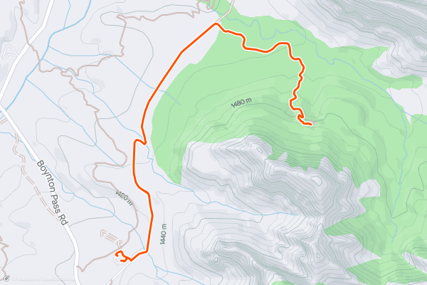
Devil's Bridge Trail
The Devil's Bridge Trail is a memorable hike to a natural sandstone arch in the Coconino National Forest just outside Sedona Arizona. The trail follows an out and back route. Most hikers consider this a moderate trail due to its length and the steep sections when you’re nearing Devil’s Bridge. This is one of the most popular hikes in the area for Strava members. Everybody wants a photo at Devil’s Bridge, so you may have to wait briefly to get your picture taken if you go at a popular time of day
2


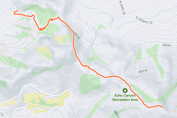
Camelback Mountain Via Echo Canyon Trail
The Echo Canyon Trail to the summit of Camelback Mountain is a popular hike with great views at the summit. The trail follows an out and back route. The trail is on the shorter side, but there are a few steep sections near the summit. For this reason, most consider it a hard hike. This is one of the most popular hikes in the area with Strava members, so let the Kudos flow. At the summit you’ll enjoy great views of Phoenix, Scottsdale, and the surrounding area.
3


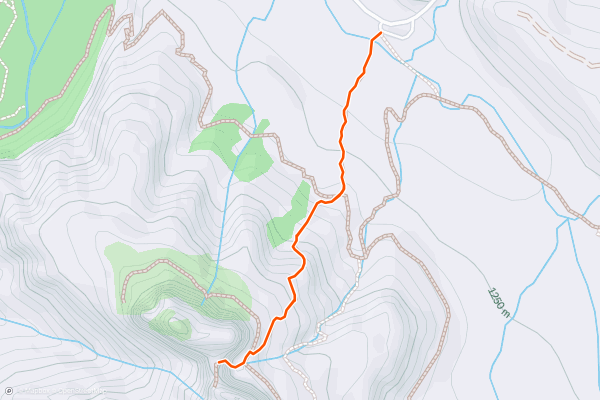
Cathedral Rock Trail
The Cathedral Rock trail is a fun hike that gets you up close with one of Sedona’s most scenic sandstone buttes. The trail follows an out-and-back route. It is short, just over a mile round trip, but there are steep sections that require scrambling over rocks. Because of these technical sections, most hikers consider this a hard trail. The Cathedral Rock Trail is one of the most popular hikes in the area with Strava members and is a must see for anyone exploring Red Rock Country.
4


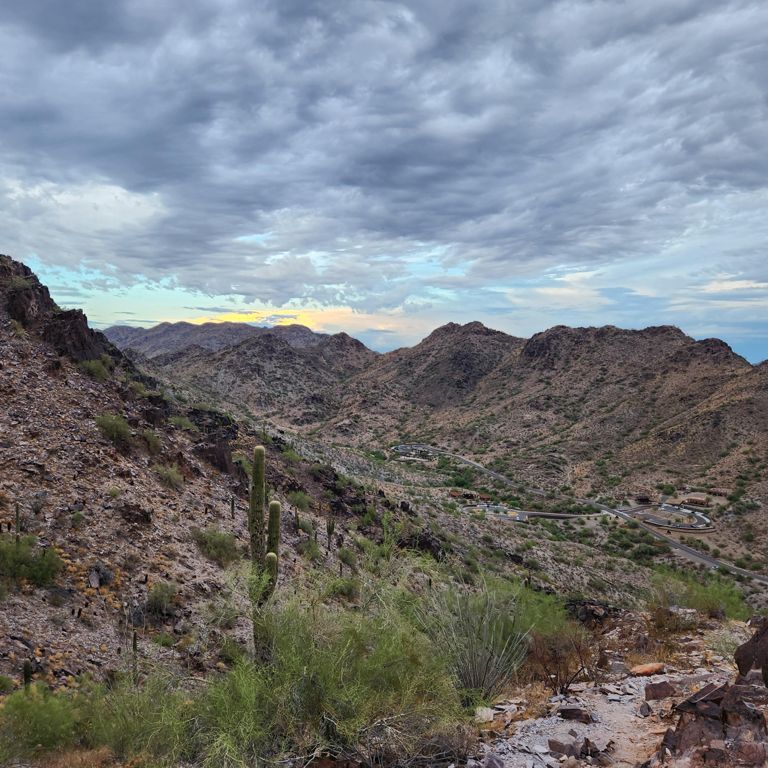


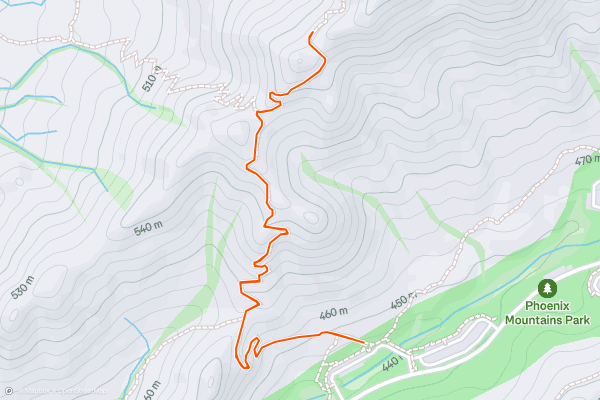
Piestewa Peak
The Piestewa Peak hiking trail is a steep and rewarding hike with great summit views just outside Phoenix. The trail follows an out and back route with several challenging switchbacks. Because of the sections with steep grades, most consider this a hard hike. Piestewa Peak is one of the most popular hikes in the area with Strava members. Pro Tip: the summit is a popular place to watch the sunset on a clear day, just bring a powerful flashlight or headlamp for the way down!
5


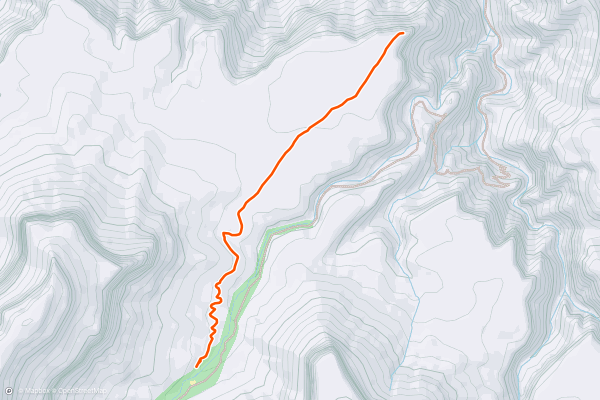
Plateau Point
In terms of effort to views ratio, I cannot think of many better hikes in the country. The trip to Plateau Point presents one of the finest views of the Grand Canyon, and it should not be missed for anyone hiking in the area....
6


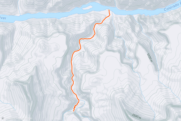
Granite Rapids
If hiking on the Hermit and/or Tonto trails, the Granite Rapids side trip is not to be missed. It is one of the many treasures of the Grand Canyon. The rapids are some of the largest in the famous Colorado River....
7


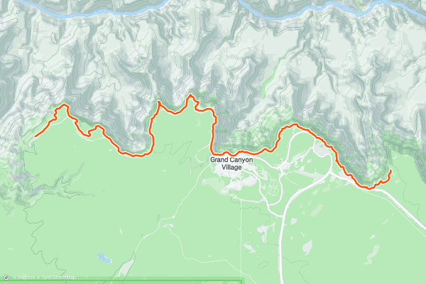
South Rim Trail
The South Rim Trail is the ideal choice for visitors who want to see the South Rim’s renowned vistas, but don’t want overly strenuous hiking. It is also one of the few trails in Grand Canyon National Park that allows dogs, so long as they are kept on a leash and cleaned up after....
8
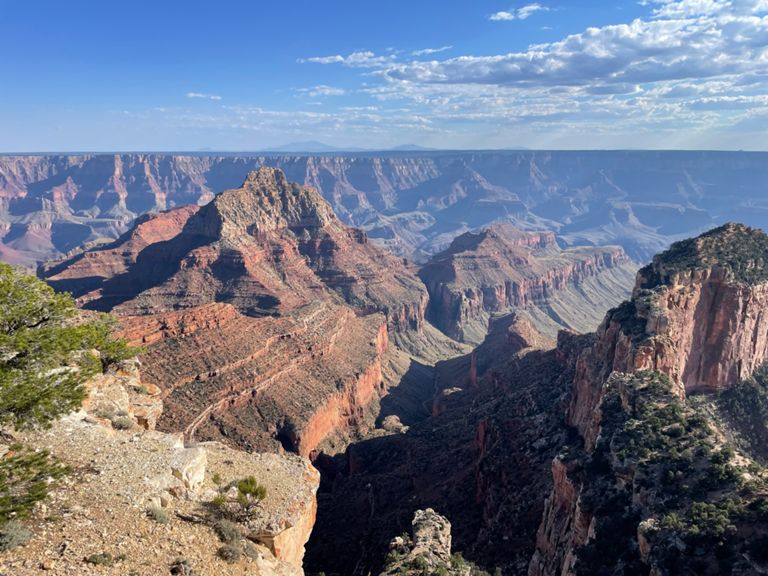


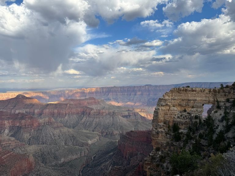
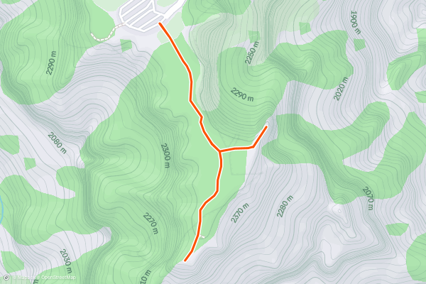
Cape Royal Trail
Cape Royal provides unobstructed, panoramic views of the canyon that are second to none. The Cape is a finger of rock that juts out into the Grand Canyon at one of its widest points....
9


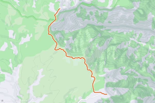
Point Imperial Trail
Point Imperial is the high point of the Grand Canyon—no other spot on the rim is located at a greater elevation above sea level. The view is especially impressive not only for its elevated perspective but also for the canyon features it overlooks....
10


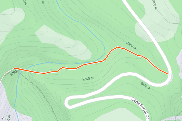
Cliff Spring Trail
This short trail offers a different hiking experience than most on the North Rim. Most trails travel through the forest above the edge of the main canyon, but this one dips below the rim of a side canyon, tracing a ledge beneath rock overhangs....
11


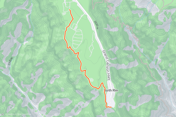
Transept Trail
Transept Trail travels between North Rim Campground and Grand Canyon Lodge, near the canyon rim. Even though it connects these two hubs, the trail is rarely busy. Find a bench or natural outcrop all to yourself and enjoy the view....
12


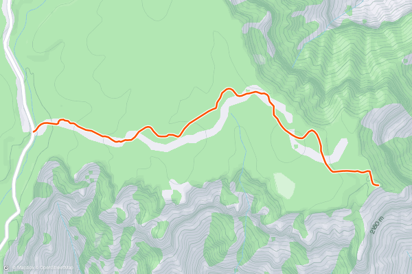
Cape Final Trail
Most people drive Cape Royal Road to reach its namesake overlook at the end, but Cape Final is not to be missed if you have the time. Cape Final is different but similarly spectacular....
13


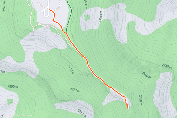
Bright Angel Point
For one of the best views of the Grand Canyon, look no further than Bright Angel Point. In no more than a few minutes’ walk from Grand Canyon Lodge, you can stand atop a precipitous spine of rock on the edge of the abyss....
14


Big Wash Trail
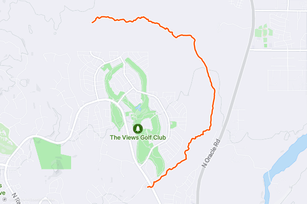
If you’re looking for a mellow, flat hike lined with beautiful cacti, look no further than the Big Wash Trail. This ultra-smooth singletrack crisscrosses the eponymous “big wash” for miles. Despite starting from a subdivision near Oracle Valley, the trail quickly heads out deep into the desert....
15


Canyon Loop
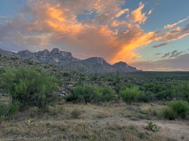
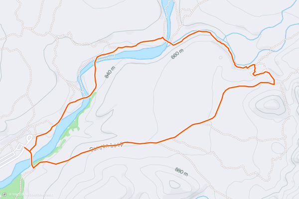
Catalina State Park is an ultra-popular hub for hiking near Tucson. A plethora of trails begin in the park, including the [50-Year Trail](https://fatmap.com/routeid/1208108/50-Year_Trail/@32.4416986,-110.8982723,4882.1178497,-18.4759764,102.1393846,927.6252940,normal), [Sutherland Trail](https://fatmap.com/routeid/1203163/Sutherland_Trail_Out-and-Back/@32.4414842,-110.9106845,12230.2208020,-64.7749946,0,945.2192431,normal), and [Romero Canyon](https://fatmap.com/routeid/1203166/Romero_Pools/@32.4621809,-110.9013835,11747.9267798,-24.8201267,102.1393846,907.6091310,normal). And while you can complete a short out-and-back hike on all three of those lengthy trails, Canyon Loop is hands-down the most popular mellow loop hike in the park....
16


Sweetwater Preserve
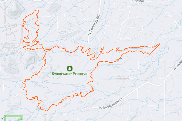
Sweetwater Preserve protects an 880 acre parcel of the Sonoran Desert that’s filled to bursting with towering saguaro cacti. This open space area is located just half a mile from Saguaro National Park “and a biological research preserve owned by the University of Arizona,” according to [PIMA....
17



Desperado Loop
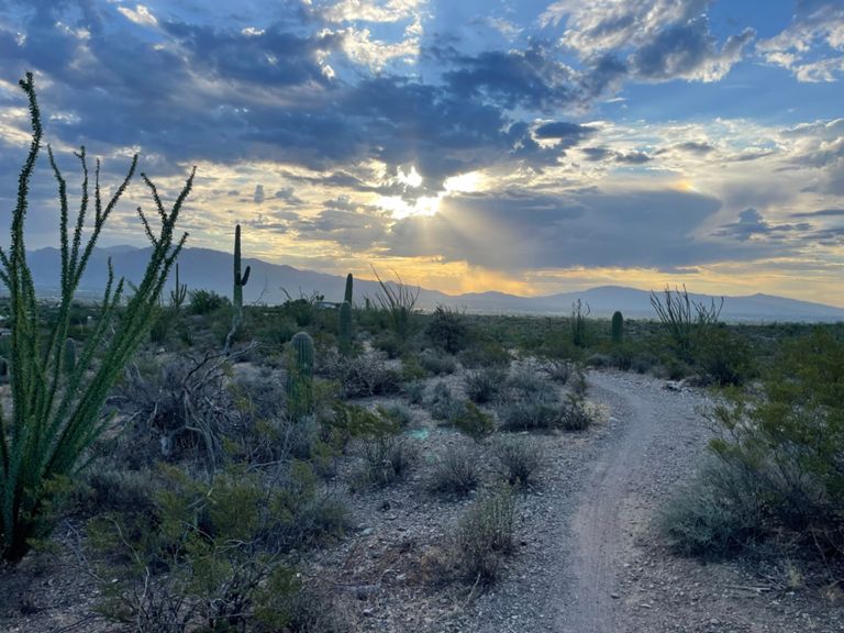
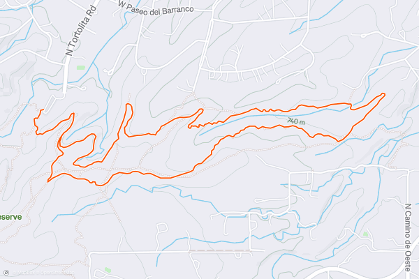
Sweetwater Preserve protects an 880 acre parcel of the Sonoran Desert that’s filled to bursting with towering saguaro cacti. This open space area is located just half a mile from Saguaro National Park “and a biological research preserve owned by the University of Arizona,” according to [PIMA....
18


Mica View Loop
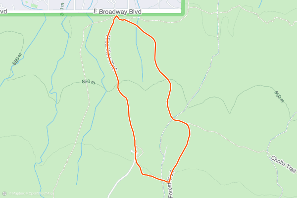
Mica View Loop is among the best casual family hikes in Saguaro East. The trailhead is at the Mica View picnic area, reached by a 0.6-mile dirt road, suitable for passenger cars, that departs from the Cactus Forest Loop Drive....
19


Freeman Homestead Trail
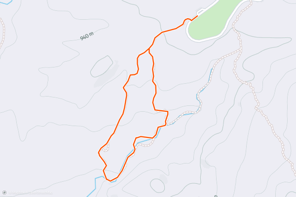
This hike is easy to get to and easy to complete. It’s at the end of the two-way section of the Cactus Forest Loop Drive, near the Javelina picnic area. The trail is just under a mile long, on a sandy trail with only small ups and downs....
20


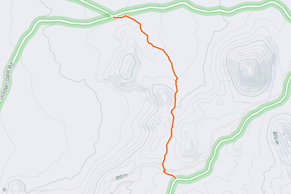
Wild Dog Trail
Page 1 of 9
Top regions for hiking trails on Strava
- Acadia National Park
- Alabama
- Alaska
- Albuquerque
- Alyeska
- Angeles National Forest
- Arizona
- Arkansas
- Austin, TX
- Bay Area
- Bend
- Big Sky
- Blue Mountain Ski Area
- Boston
- Boulder, CO
- Brevard
- Bridger Bowl
- Buena Vista
- California
- Cape Cod
- Colorado
- Connecticut
- Dahlonega
- Downieville
- Ellijay
- Flagstaff
- Florida
- Georgia
- Glacier National Park (USA)
- Grand Teton National Park
- Great Smoky Mountains National Park, TN
- Hawaii
- Hurricane
- Hyalite
- Idaho
- Illinois
- Indiana
- Kansas
- Kentucky
- Lake Tahoe
- Las Vegas, NV
- Los Angeles, CA
- Maine
- Mammoth Mountain
- Marin County
- Maryland
- Massachusetts
- Maui, HI
- Michigan
- Minnesota
- Missouri
- Moab
- Montana
- Mount Rainier National Park
- Mt. Rainier National Park, WA
- Nederland
- Nevada
- New Hampshire
- New Jersey
- New Mexico
- New York
- New York, NY
- North Bridgers
- North Carolina
- North Dakota
- Oakridge
- Ohio
- Oklahoma
- Oregon
- Park City and Deer Valley
- Pennsylvania
- Phoenix, AZ
- Placitas
- Portland, OR
- Roanoke
- Salida
- Salt Lake City, UT
- San Diego, CA
- San Francisco, CA
- Santa Fe, NM
- Santa Monica Mountains
- Seattle, WA
- Sedona, AZ
- Sisters
- South Carolina
- South Dakota
- South Lake Tahoe, CA
- Stowe
- Sugarbush
- Sun Valley
- Taos
- Telluride
- Tennessee
- Texas
- Timberline Lodge Summer
- Utah
- Vermont
- Virginia
- Washington
- West Virginia
- Wind River Range
- Winter Park
- Wisconsin
- Wyoming
- Yellowstone National Park
- Yosemite National Park, CA
- Zion National Park, UT